October 22, 2015
Huge fires are burning northern Australia every year: it’s time to get them under control
Huge fires in September and October burn the most land in northern Australia, writes Dr Owen Price.
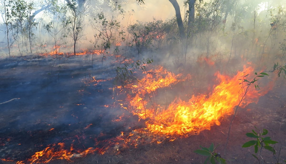
On October 1, 2015 a fire lit to manage weeds at the Ranger Uranium Mine burned through 14,000 hectares of Kakadu National Park, and closing several tourist attractions.
The Northern Territory Government and Energy Resources of Australia (the mine operators) are conducting enquiries to work out what went wrong and how to prevent similar accidents in the future, because like all natural disasters each one is an opportunity to learn.
As it happens, this fire coincided with the publication this month of my that helps us to understand the problem posed by unplanned fires in the savannahs of northern Australia.
That research highlights a 60-day window between August 9 and October 7 each year when huge fires can occur and these contribute an inordinate amount to the total area burnt across the north.
Going up in smoke
Before August mild weather and moisture in the vegetation constrain fires. After October rain and high humidity do the same. Natural fires, caused by lightning, occur from November onwards, and although these account for more than 60% of unplanned fires started, they cause less than 10% of the total area burnt.
Rather, it is fires in the high risk window that are the real problem for fire management over a vast slab of Australia and they are neither natural nor planned.
My study used MODIS satellite mapping to examine the ignition date, duration and eventual size of 126,000 fires in Arnhem Land over a 10 year period. The largest fire ignited in late August 2004 and burned 445,000 hectares, 30 times the area burnt by the Ranger Mine or equivalent to a quarter of the size of Kakadu, our country’s largest national park.
But other regions have it worse: an accidental fire in the northern Tanami ignited on August 4 2011 burnt an area at least 5 million ha. There are 22 European countries smaller than that. So the Ranger Mine fire is in no way unique: it just happened to occur in a highly visible area.
Let’s take a step back and consider what is at stake with fires such as these. over many decades have shown that many species of fire-sensitive plants and animals are in decline across the north this is at least partially related to the loss of traditional burning practices which has led to an increase in fire frequency and a predominance of high-intensity late dry season fires (such as the Ranger Mine fire).
It is not certain whether high fire frequency or high fire intensity is the main problem, but it is probably a bit of both.
Stop fires starting
Managers of country such as Kakadu National Park and Arnhem Land recognise this problem and have taken steps to wrest back control of the fire regime. Their main tool is the use of planned burning in the early dry season fires (April – July), akin to traditional burning practices.
By treating the land with a patchwork of these low intensity, low impact fires, subsequent fires can be prevented or constrained to protect sensitive areas. In some areas, including Kakadu and Western Arnhem Land, between 10% and 30% of the country is burnt each year by planned burns. This year 31% of Kakadu National Park had been treated in this way and this patchwork of burnt areas was the context in which the Ranger Mine fire started.
This approach has been successful at reducing the area burnt by unplanned late dry season fires, but it is only a partial fix. The Ranger Mine fire illustrates the main problem: that fires will burn around previously burnt patches.
This fire spread through a small gap between previous patches (at point A on the map below), enlarging its size five-fold. It is fair to say that the southern and western progress of the fire was contained by the planned burning. This protected Nourlangie Rock and Jabiru township and the fire could have been much larger without it.
The consequence of this “leaky” patchwork of protection is that early dry season burning on its own does not do much to reduce the overall area burnt. Rather it replaces high intensity late dry season fires with low intensity fires (which itself is a good thing).
This replacement phenomenon has been using fine scale fire mapping in Western Arnhem Land. My new study points out that if reducing fire frequency across the north is a goal (and it ought to be), then we need to place more focus on stopping fires starting in the main danger period (mid August to mid October).
Achieving substantial reduction in these ignitions is a huge challenge, and I don’t have any easy answers, but it would help if burn-offs such as the one that started the Ranger Mine fire were not allowed at this risky time of year.
![]()
, Senior Research Fellow, Centre for Environmental Risk Management of Bushfires,
This article was originally published on . Read the .
UOW academics exercise academic freedom by providing expert commentary, opinion and analysis on a range of ongoing social issues and current affairs. This expert commentary reflects the views of those individual academics and does not necessarily reflect the views or policy positions of the ¡Ò¡´ ”∆µapp of ¡Ò¡´ ”∆µapp.
